Communities
Bells Corners Fast Facts
- Population: 9,385
- Size: 4.6 sq. km
- Avg. household income: $102,100
- Distance from Parliament Hill: 17 km west
- Who’s building: No major projects
Bayshore–Britannia Fast Facts
- Population: 30,013
- Size: 11.99 sq. km
- Avg. household income: $94,372
- Distance from Parliament Hill: 14 km west
- Who’s building: No major projects
Greely–Metcalfe Fast Facts
- Population: 10,996
- Size: 48.34 sq. km
- Avg. household income: $172,093
- Distance from Parliament Hill: 32 km south
- Who’s building: Bulat Homes, Park View Homes
Cumberland–Navan–Vars Fast Facts
- Population: 7,763
- Size: 69.24 sq. km
- Avg. household income: $155,886
- Distance from Parliament Hill: 24 km east
- Who’s building: No major projects
Alta Vista–Elmvale Acres Fast Facts
- Population: 49,611
- Size: 22.99 sq. km
- Avg. household income: $109,487
- Distance from Parliament Hill: 8 km southwest
- Who’s building: No major projects
Vanier–Overbrook Fast Facts
- Population: 31,317
- Size: 7.31 sq. km
- Avg. household income: $78,774
- Distance from Parliament Hill: 4 km east
- Who’s building: Brigil (rentals), Longwood (rentals), ModBox, Richcraft (rentals)
Wellington West–Hintonburg–Mechanicsville Fast Facts
- Population: 21,803
- Size: 5.72 sq. km
- Avg. household income: $134,787
- Distance from Parliament Hill: 4 km west
- Who’s building: Brigil (rentals), Richcraft (rentals)
Civic Hospital–McKellar Heights Fast Facts
- Population: 29,996
- Size: 13.49 sq. km
- Avg. household income: $109,096
- Distance from Parliament Hill: 8 km southwest
- Who’s building: No major projects
Carlingwood Fast Facts
- Population: 20,949
- Size: 6.21 sq. km
- Avg. household income: $121,595
- Distance from Parliament Hill: 10 km west
- Who’s building: Brigil (rentals)
Centrepointe-Craig Henry Fast Facts
- Population: 36,753
- Size: 15.01 sq. km
- Avg. household income: $125,537
- Distance from Parliament Hill: 13 km southwest
- Who’s building: Brigil (rentals), Richcraft (rentals)
Meadowlands–Fisher Glen Fast Facts
- Population: 38,710
- Size: 23.4 sq. km
- Avg. household income: $117,105
- Distance from Parliament Hill: 12 km southwest
- Who’s building: Ashcroft, Uniform
Blackburn Hamlet Fast Facts
- Population: 8,173
- Size: 2.56 sq. km
- Avg. household income: $121,100
- Distance from Parliament Hill: 13 km east
- Who’s building: No major projects
South Keys–Hunt Club Fast Facts
- Population: 82,178
- Size: 55.08 sq. km
- Avg. household income: $109,806
- Distance from Parliament Hill: 10 km south
Rothwell Heights–Beacon Hill–Carson Grove Fast Facts
- Population: 32,758
- Size: 18 sq. km
- Avg. household income: $115,235
- Distance from Parliament Hill: 13 km east
- Who’s building: Mattamy Homes, Richcraft (rentals)
Sandy Hill Fast Facts
- Population: 12,871
- Size: 2.07 sq. km
- Avg. household income: $87,400
- Distance from Parliament Hill: 1.5 km east
- Who’s building: Richcraft
Rockcliffe Park–New Edinburgh–Manor Park–Lindenlea Fast Facts
- Population: 10,951
- Size: 4.76 sq. km
- Avg. household income: $185,759
- Distance from Parliament Hill: 5 km east
- Who’s building: No major projects
Old Ottawa South Fast Facts
- Population: 7,207
- Size: 1.65 sq. km
- Avg. household income: $203,750
- Distance from Parliament Hill: 5 km south
- Who’s building: Windmill
Manotick Fast Facts
- Population: 7,303
- Size: 17.11 sq. km
- Avg. household income: $205,101
- Distance from Parliament Hill: 25 km north
- Who’s building: Minto
The Glebe Fast Facts
- Population: 11,922
- Size: 2.58 sq. km
- Avg. household income: $175,600
- Distance from Parliament Hill: 2.6 km south
- Who’s building: No major projects
Richmond–Munster Fast Facts
- Population: 13,251
- Size: 357.982 sq. km, including a large rural area north of Munster
- Avg. household income: $161,797
- Distance from Parliament Hill: 35 km southwest
- Who’s building: Caivan, Mattamy, Metric
Little Italy–Chinatown Fast Facts
- Population: 11,720
- Size: 1.77 sq. km
- Avg. household income: $81,571
- Distance from Parliament Hill: 3 km west
- Who’s building: Claridge
Old Ottawa East Fast Facts
- Population: 7,862
- Size: 1.56 sq. km
- Avg. household income: $137,924
- Distance from Parliament Hill: 3 km southeast
- Who’s building: eQ Homes
Centretown–Golden Triangle Fast Facts
- Population: 25,687
- Size: 2.1 sq. km
- Avg. household income: $103,430
- Distance from Parliament Hill: 1.5 km south
- Who’s building: Richcraft, Urban Capital
Kemptville Fast Facts
- Population: 6,823
- Size: 25.21 sq. km
- Avg. household income: $112,118
- Distance from Parliament Hill: 58 km south
- Who’s building: eQ Homes, Mattamy, Urbandale
ByWard Market–Lowertown Fast Facts
- Population: 12,099
- Size: 1.97 sq. km
- Avg. household income: $80,264
- Distance from Parliament Hill: Less than 1 km east
- Who’s building: Claridge
Downtown Fast Facts
- Population: 6,348
- Size: 2.2 sq. km
- Avg. household income: $105,040
- Who’s building: Claridge, Ashcroft Homes, Dream Unlimited (rentals)
Clarence-Rockland Fast Facts
- Population: 26,505
- Size: 297.47 sq. km
- Avg. household income: $117,800
- Distance from Parliament Hill: 39 km northeast
- Who’s building: Cardel, eQ , Longwood, smaller builders
Russell–Embrun Fast Facts
- Population: 15,060
- Size: 21.19 sq. km
- Avg. household income: $132,394
- Distance from Parliament Hill: 44 km southeast
- Who’s building: eQ, Corvinelli, Guildcrest, Saca, Tartan, Valecraft, others
Almonte Fast Facts
- Population: 5,254
- Size: 9.06 sq. km
- Avg. household income: $100,838
- Distance from Parliament Hill: 52 km west
Carleton Place Fast Facts
- Population: 13,940
- Size: 12.49 sq. km
- Avg. household income: $105,300
- Distance from Parliament Hill: 50 km southwest
- Who’s building: BLD Homes, Cardel Homes, Inverness (rentals), Patten Homes, Uniform Urban Developments
Arnprior Fast Facts
- Population: 9,629
- Size: 13.04 sq. km
- Avg. household income: $88,800
- Distance from Parliament Hill: 65 km west
- Who’s building: Campanale Homes
Orléans Fast Facts
- Population: 120,401
- Size: 54.68 sq. km
- Avg. household income: $138,368
- Distance from Parliament Hill: 10 km east
- Who’s building: Ashcroft, Brigil (rentals), Caivan, Claridge, eQ, Glenview, Mattamy, Minto, Richcraft (for sale & rentals), Tamarack
Findlay Creek–Leitrim Fast Facts
- Population: 14,089
- Size: 17.34 sq. km
- Avg. household income: $142,800
- Distance from Parliament Hill: 19 km south
- Who’s building: Claridge, eQ, HN, Richcraft Tartan, Tamarack, Urbandale
Riverside South Fast Facts
- Population: 19,802
- Size: 28.65 sq. km
- Avg. household income: $170,041
- Distance from Parliament Hill: 18 km south
- Who’s building: Cardel, Claridge, eQ, HN, Richcraft (for sale & rentals), Urbandale
Barrhaven Fast Facts
- Population: 100,234
- Size: 42.97 sq. km
- Avg. household income: $140,323
- Distance from Parliament Hill: 23 km south
- Who’s building: Caivan, Claridge, Mattamy, Minto, Richcraft (rentals), Tamarack, Uniform
Stittsville Fast Facts
- Population: 41,337
- Size: 52 sq. km
- Avg. household income: $156,995
- Distance from Parliament Hill: 32 km southwest
- Who’s building: Cardel, Claridge, eQ, Glenview, Mattamy, Metric, Patten, Richcraft, Tamarack, Tartan, Urbandale, Valecraft
West Carleton Fast Facts
- Population: 26,300
- Size: 715.42 sq. km
- Avg. household income: $162,130
- Distance from Parliament Hill: 38 km west
- Who’s building: Inverness, Mattino, Metric, Patten, Phoenix
Kanata Fast Facts
- Population: 95,356
- Size: 45.89 sq. km
- Avg. household income: $142,838
- Distance from Parliament Hill: 22 km west
- Who’s building: Cardel, Claridge, HN Homes, Mattamy, Metric, Minto, Richcraft (for sale & rentals), Uniform, Urbandale
Westboro Fast Facts
- Population: 11,193
- Size: 2.87 sq. km
- Avg. household income: $142,664
- Distance from Parliament Hill: 6 km west
- Who’s building: Azure, Mizrahi
Discovering Ottawa’s Communities
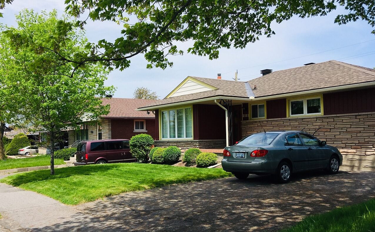
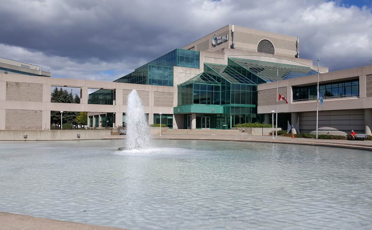
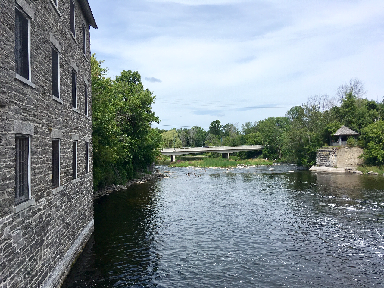
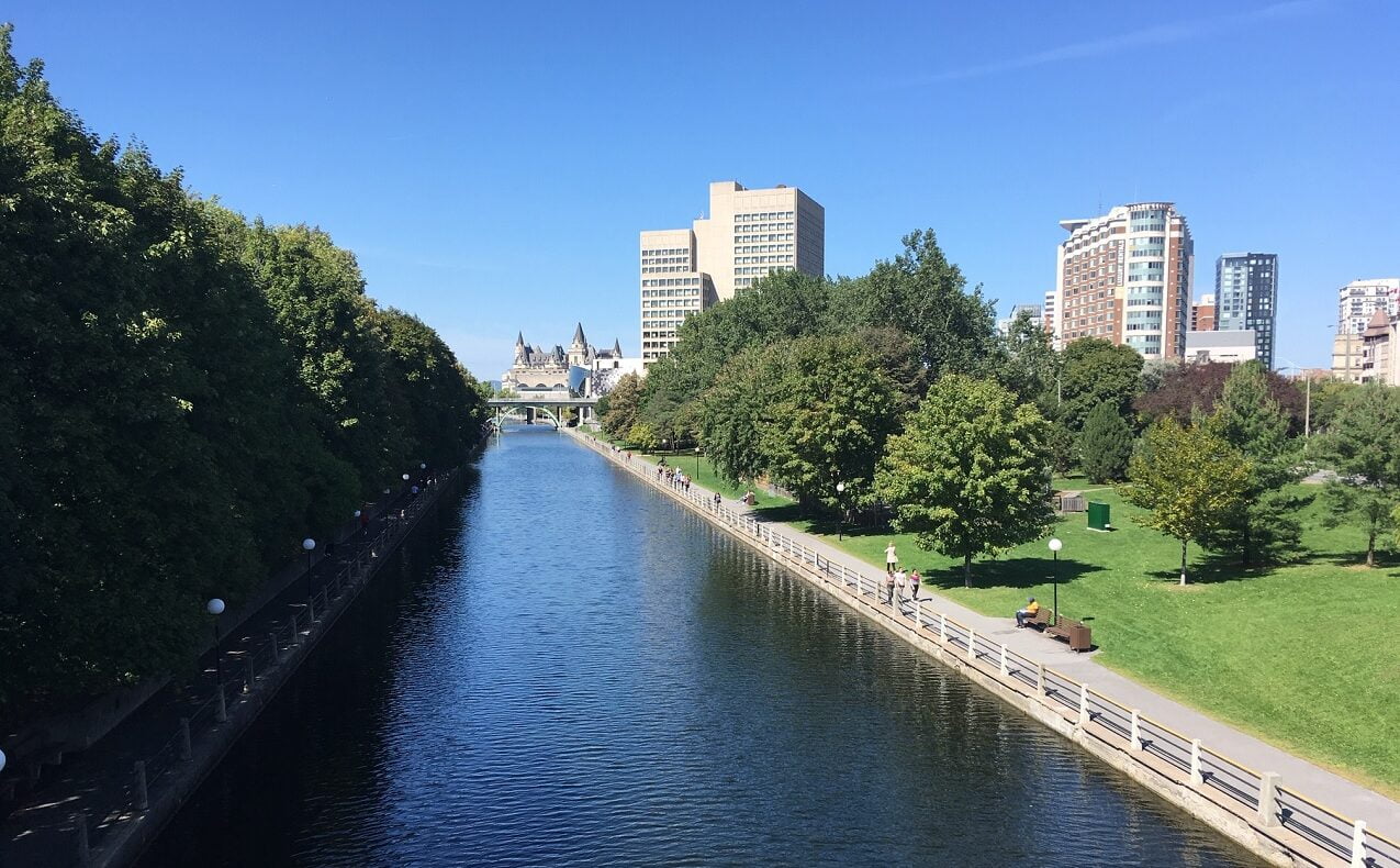
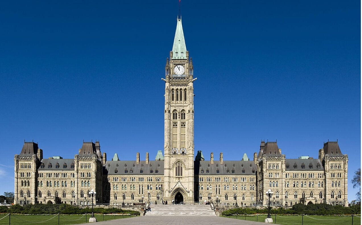
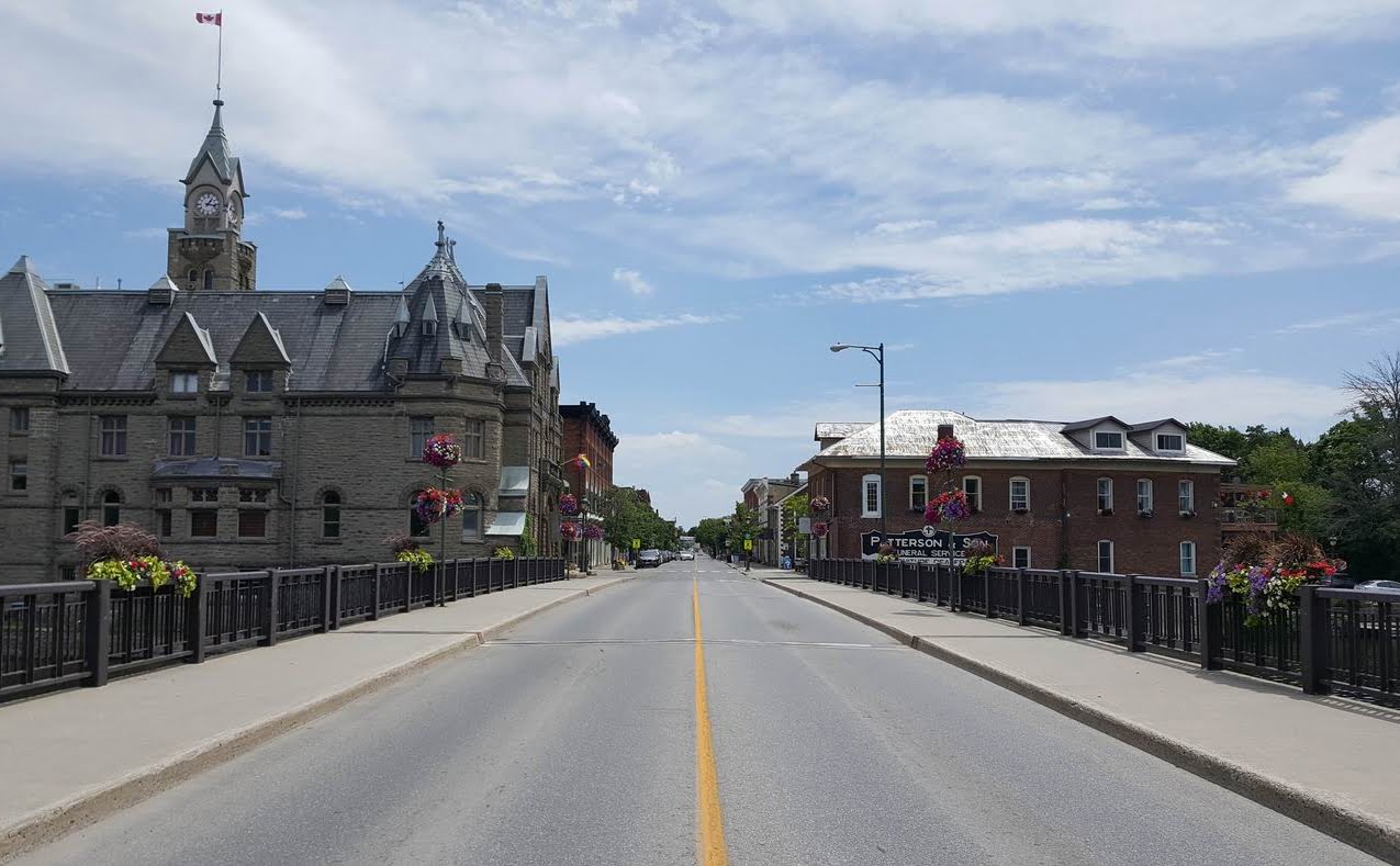
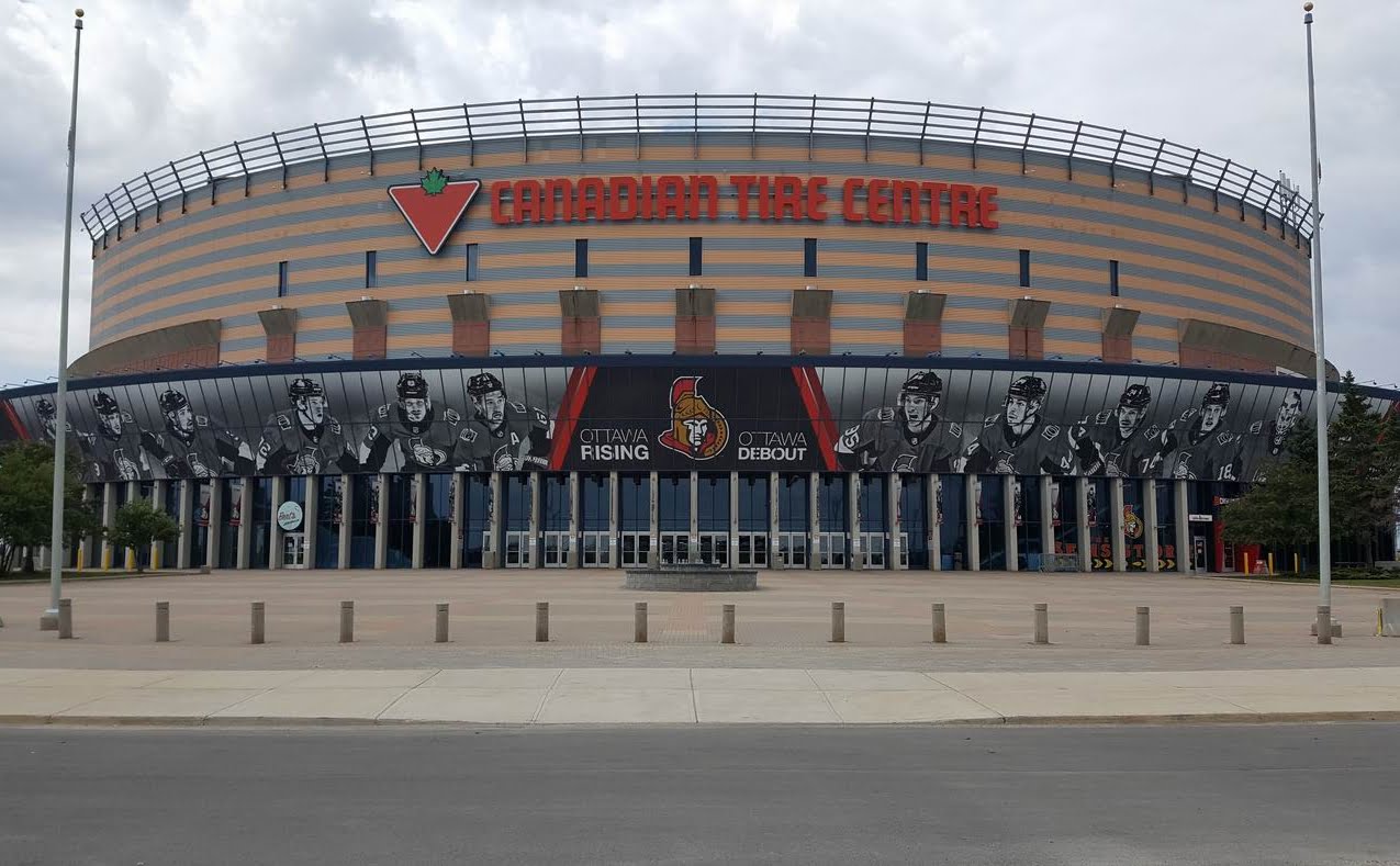
Along with being Canada’s capital, Ottawa is large: 2,760 square kilometres (much of it rural). It stretches along the Ottawa River from the edges of Arnprior in the west to just shy of Rockland in the east and south to the Rideau River near Kemptville.
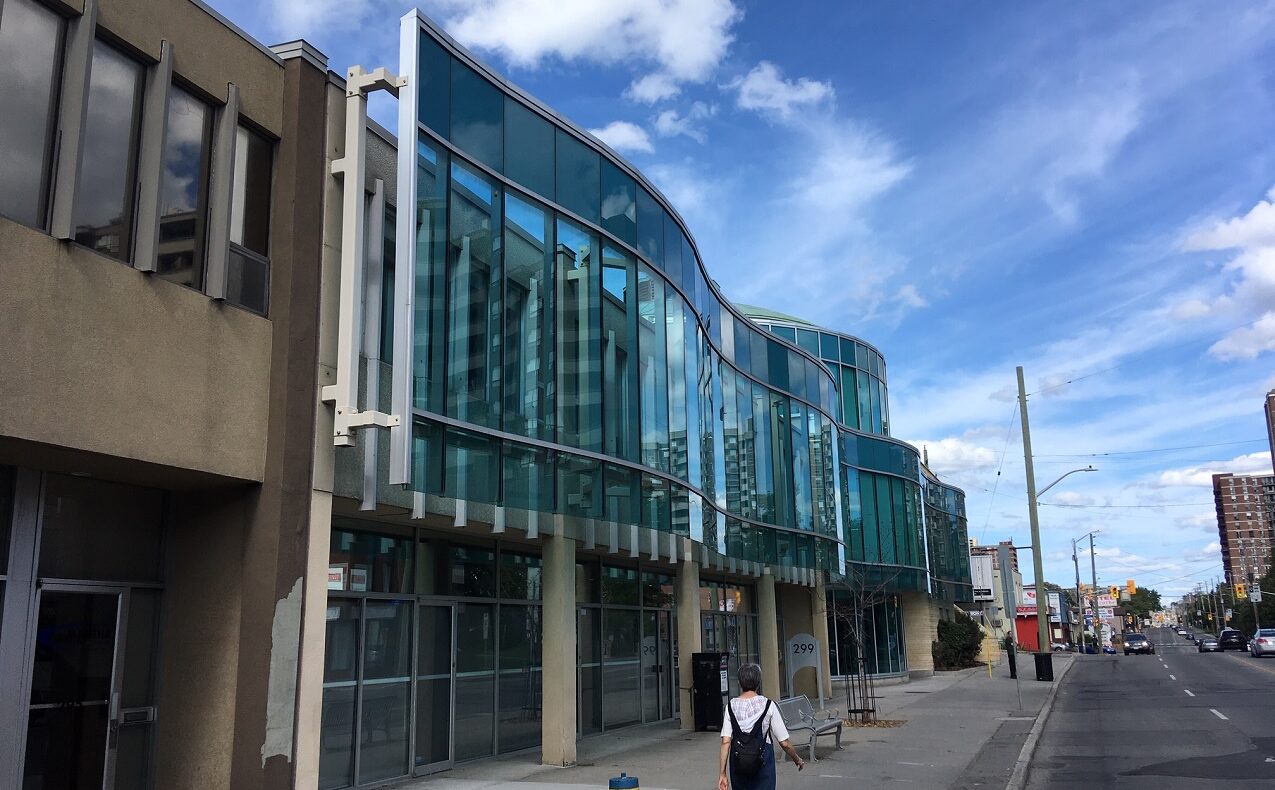
The city has four distinct regions, including a central core located inside a band of largely undeveloped land known as the Greenbelt. The population hit the one million mark in 2019; when combined with Gatineau on the north side of the Ottawa River, that makes it the fifth largest city in Canada.
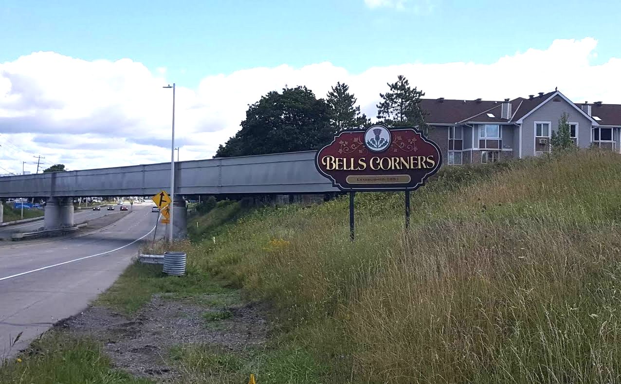
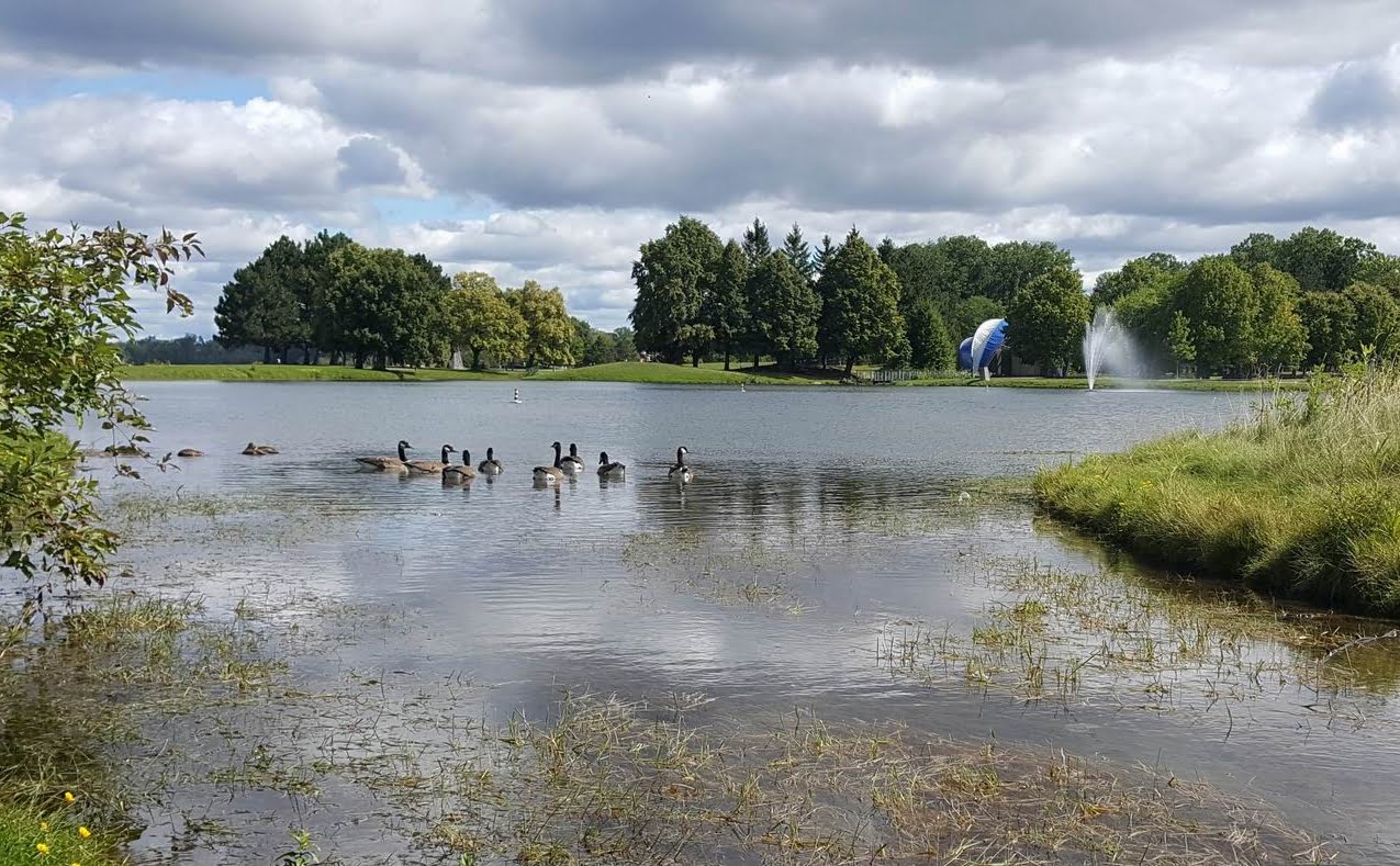
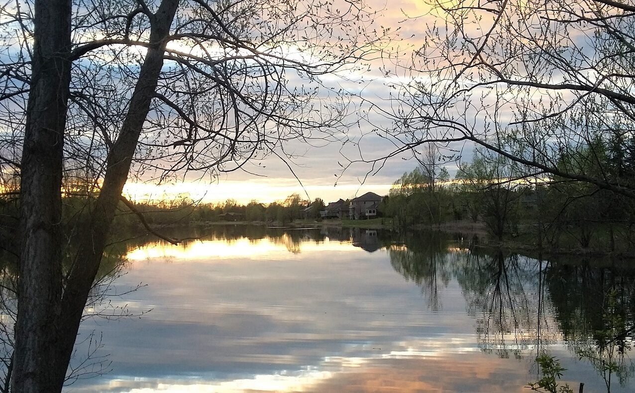
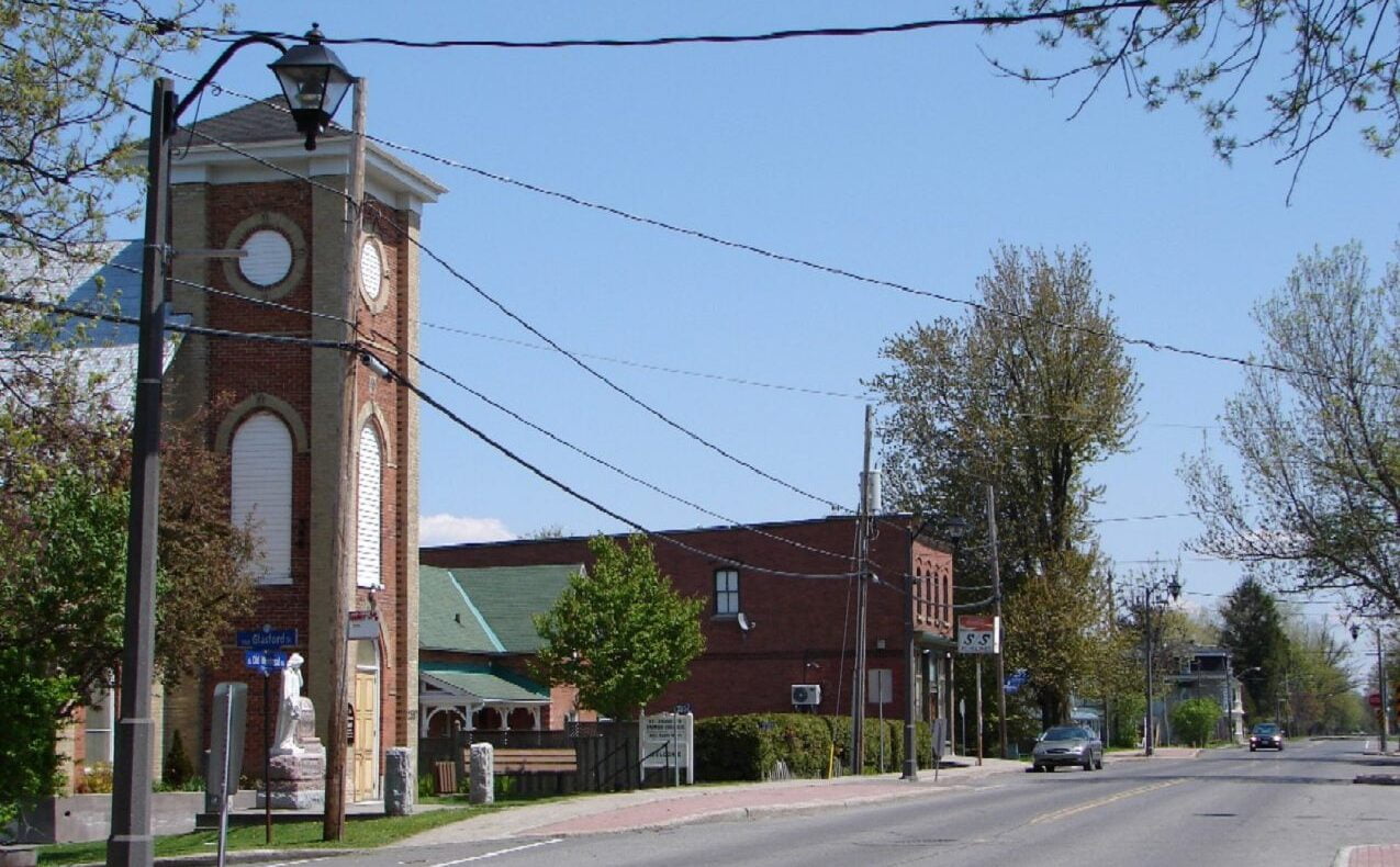
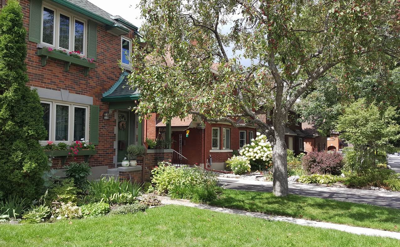
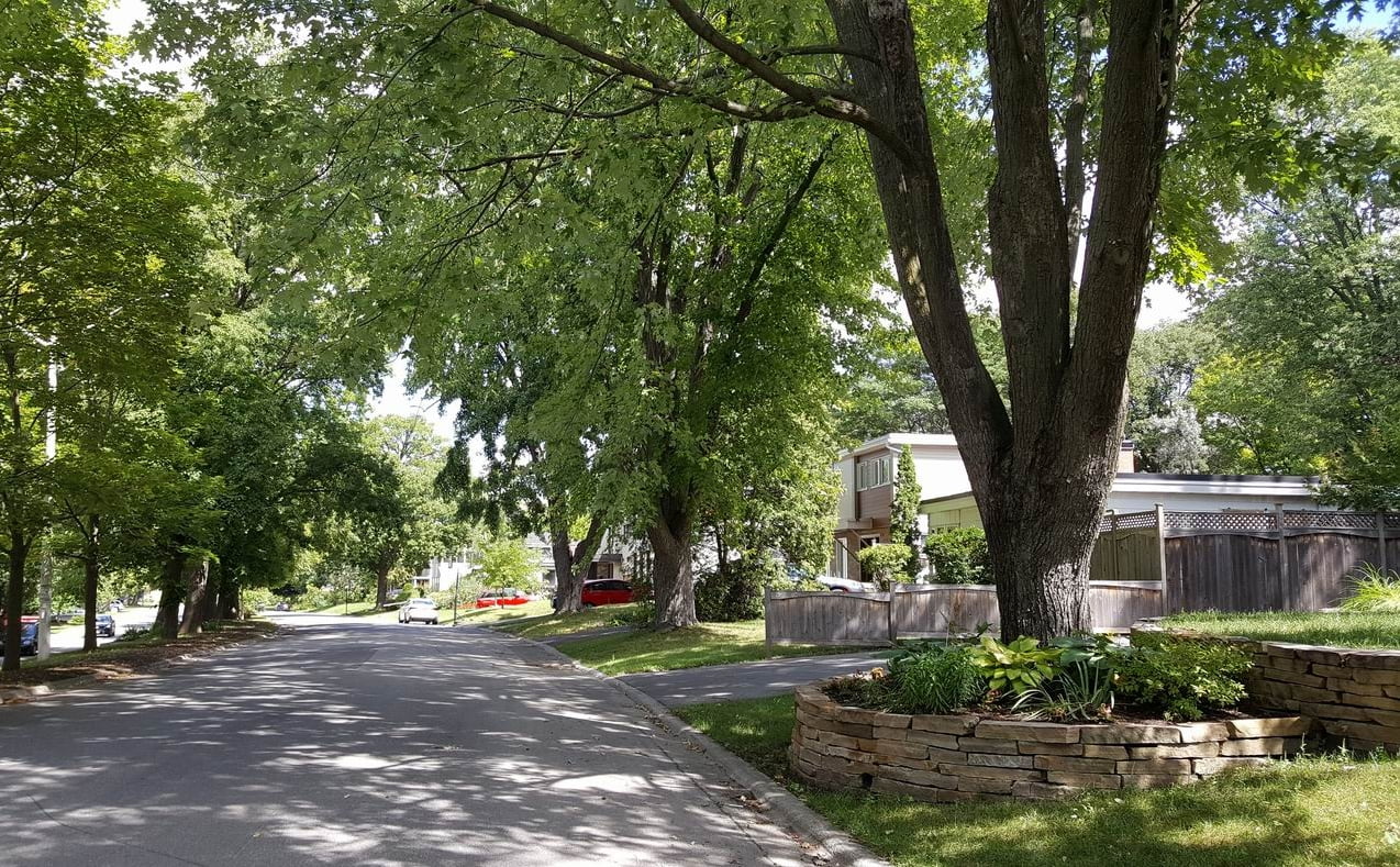
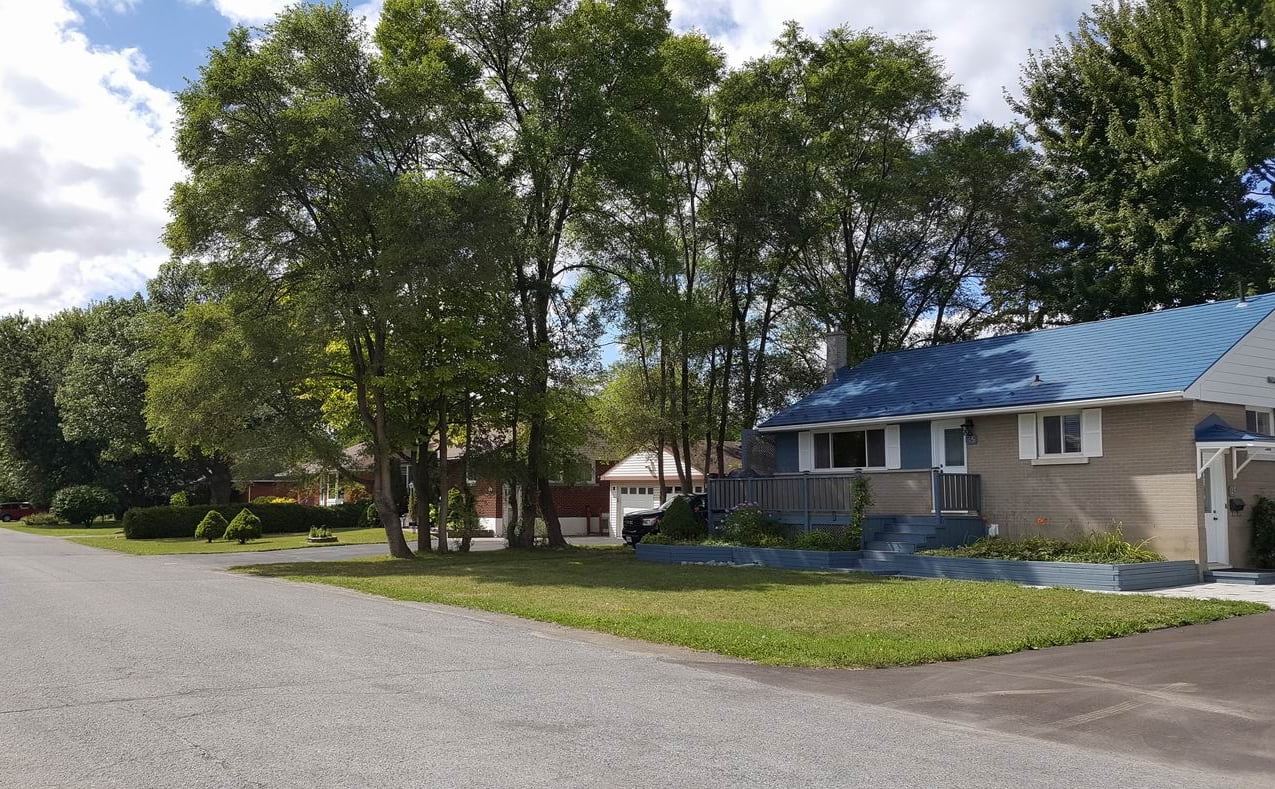
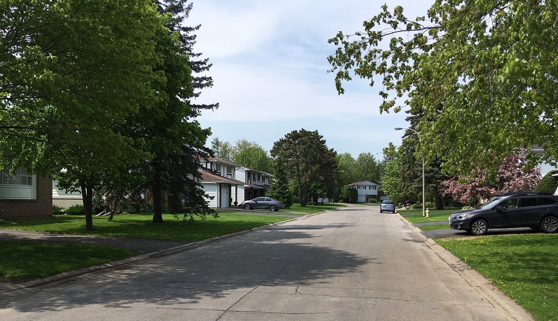
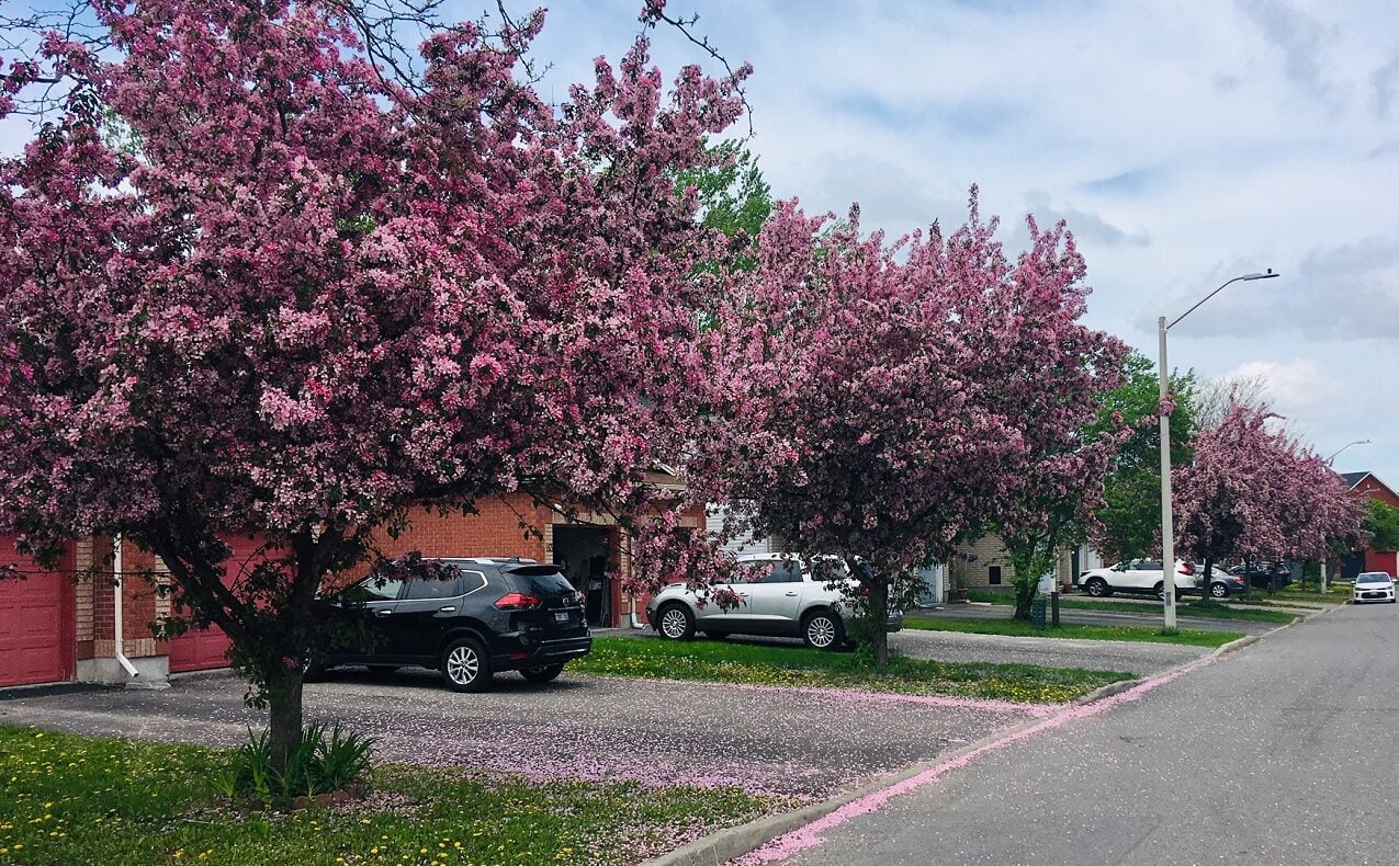
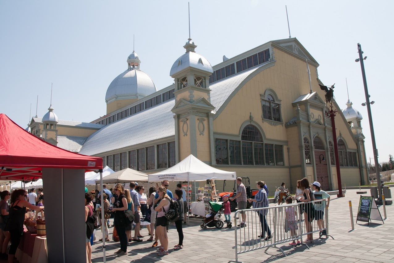
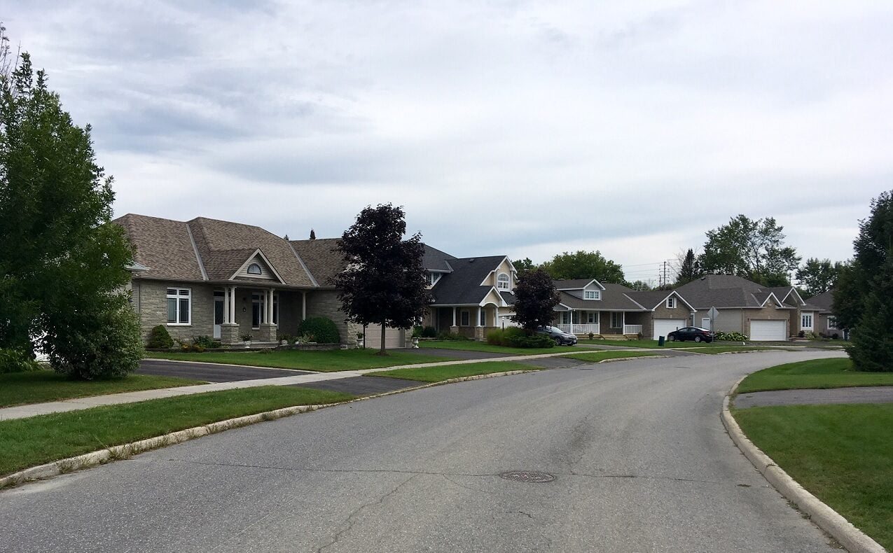
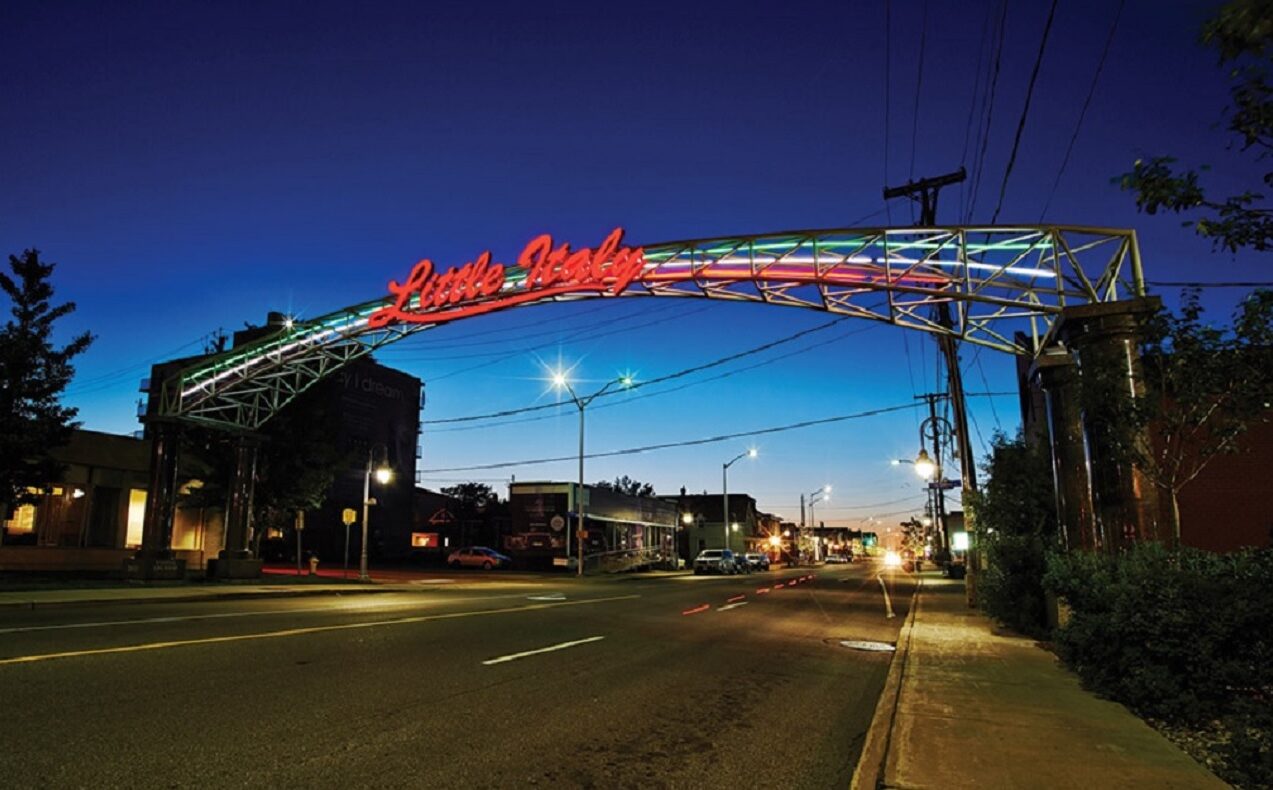
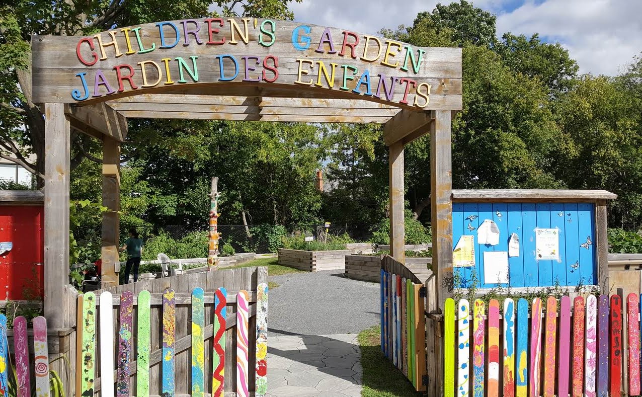
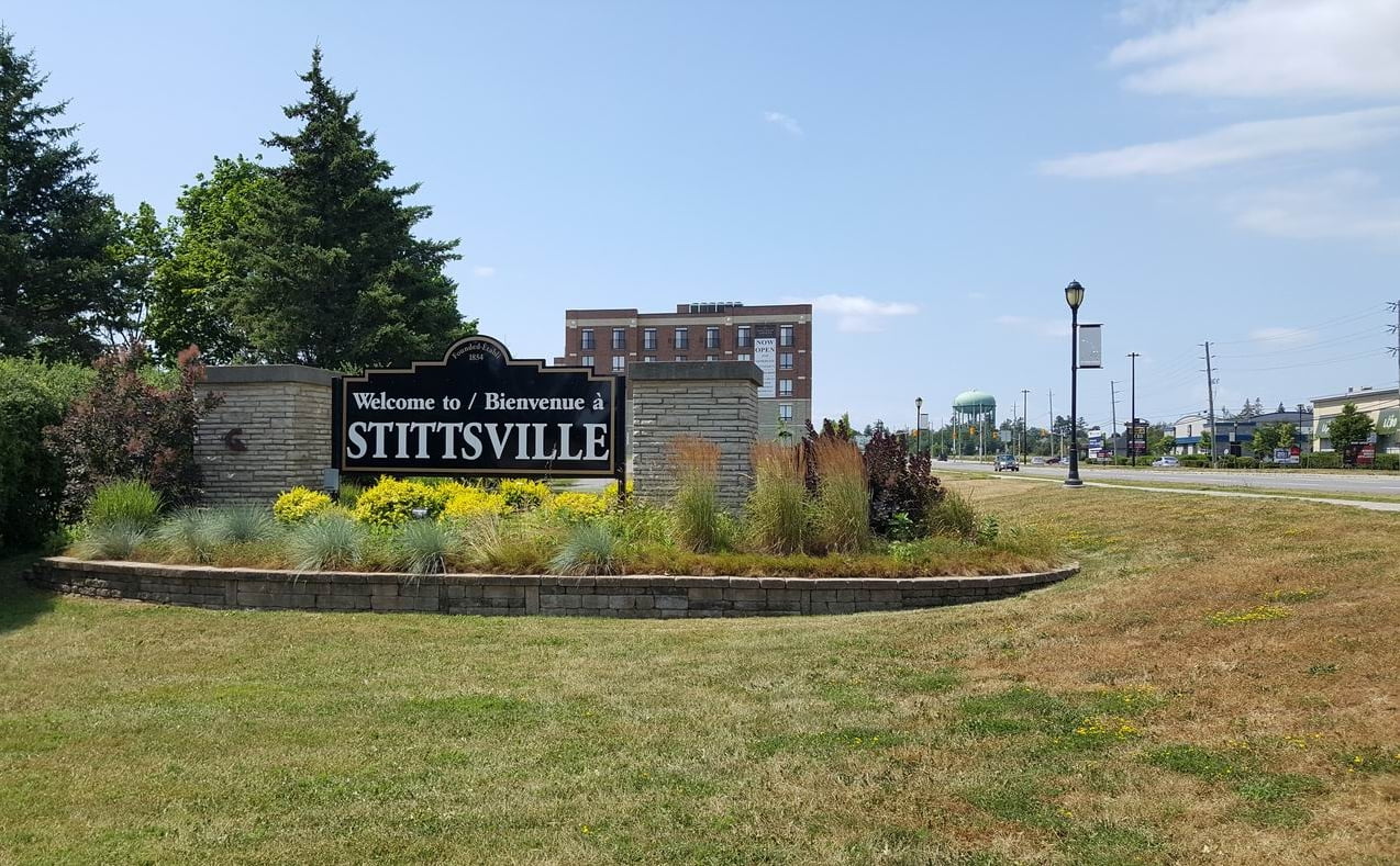
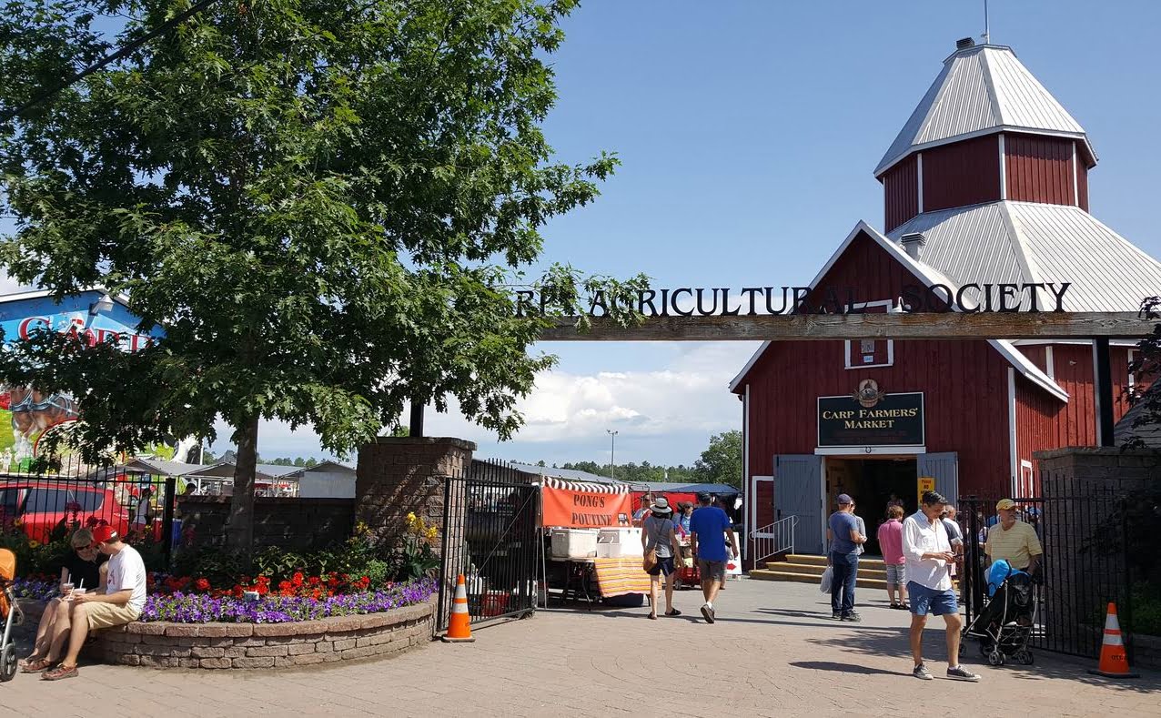
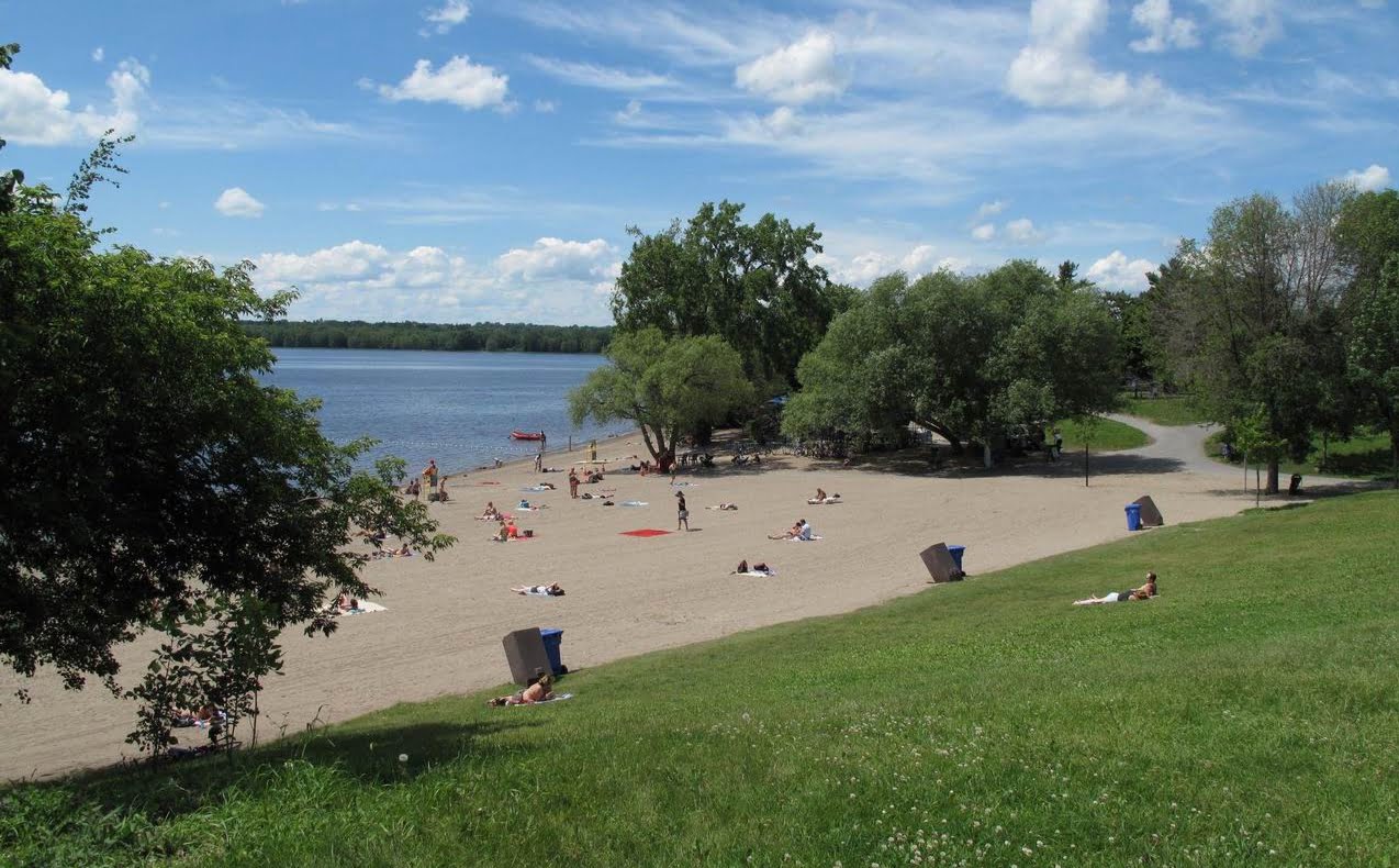
Our map takes you to helpful in-depth profiles of Ottawa’s communities (or neighbourhoods), which include 2022 census information. Choose a pin above or see the list below.
You are viewing Central communities
You are viewing South communities